Introduction
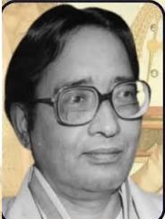
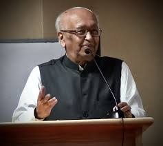
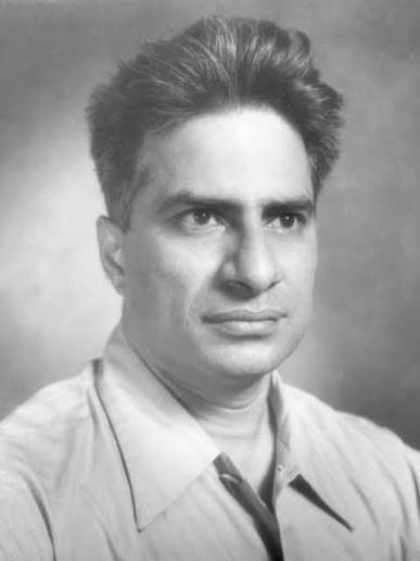
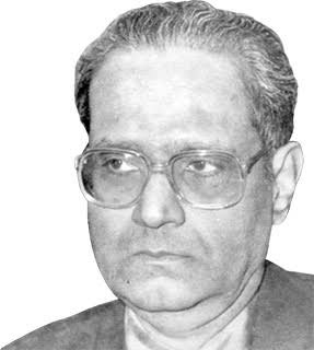
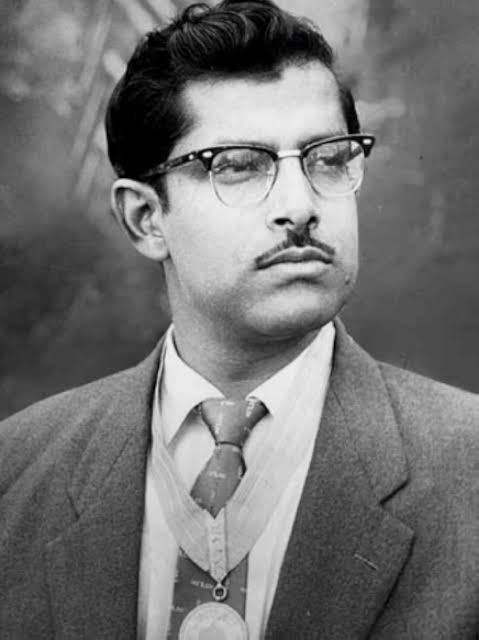
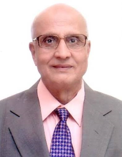
B. L. Deekshatulu is a pioneering Indian scientist known for his significant contributions to remote sensing, electronics, and space technology applications. He is widely regarded as one of the early leaders who helped establish and develop remote sensing science in India, especially for practical use in agriculture, forestry, land management, and environmental monitoring.
Throughout his career, he played an important role in advancing the use of satellite data for national development. His work is closely associated with India’s early space research efforts, where he helped transform raw satellite imagery into useful information for planning and decision-making. His contributions also supported the growth of Earth observation technologies and Geographic Information Systems (GIS) in the country.
Deekshatulu is respected not only for his technical expertise but also for his efforts in building scientific infrastructure and guiding future researchers in the field of remote sensing and space applications.
Early Life and Education
B. L. Deekshatulu was born in India and showed a strong interest in physics, mathematics, and engineering from a young age. His academic journey was marked by excellence in science and technical subjects.
He pursued higher education in engineering, specializing in electronics and related fields. His strong foundation in electrical and electronic systems later helped him contribute to advanced research in satellite technology and remote sensing applications.
Birth Date and Place
- Date of Birth: 10 January 1935
- Place of Birth: Andhra Pradesh, India
Scientific Career & Research
B. L. Deekshatulu built a distinguished career in space science and remote sensing applications.
He worked extensively with India’s space research organizations, where he contributed to the development of satellite data utilization systems.
His major areas of research include:
- Remote sensing technology
- Satellite image processing
- Electronics and communication systems
- Earth observation applications
- Geographic information systems (GIS)
- Agricultural and environmental monitoring
He played an important role in applying satellite data for national development programs such as crop monitoring, land use mapping, and natural resource management.
Major Discoveries and Inventions
B. L. Deekshatulu is known for his contributions to applied remote sensing systems rather than a single invention.
1. Remote Sensing Applications in India
He helped develop practical systems for using satellite imagery in agriculture, forestry, and environmental studies.
2. Satellite Data Utilization Systems
He contributed to designing methods for processing and interpreting Earth observation data.
3. GIS and Earth Observation Integration
He supported the integration of Geographic Information Systems with remote sensing technologies.
4. National Remote Sensing Programs
He played a key role in early Indian programs that used satellite data for planning and resource management.
5. Electronics Systems for Space Applications
He contributed to the development of electronic systems used in space and satellite operations.
Awards and Honours
B. L. Deekshatulu has received several prestigious honors, including:
- Padma Shri (1991)
- Recognition from Indian space and scientific organizations
- Fellowships in national science and engineering academies
- Awards for contributions to remote sensing and space applications
Later Life and Death
B. L. Deekshatulu continued to contribute to science and technology through advisory roles, mentoring, and participation in scientific committees.
As of the latest available information, he is alive and remains respected as a senior scientist in India’s space and remote sensing community.
Legacy and Impact
His legacy is strongly connected to the development of remote sensing in India:
- Pioneer in applying satellite technology for national development
- Strengthened India’s Earth observation capabilities
- Contributed to agriculture, forestry, and environmental monitoring systems
- Helped build early remote sensing infrastructure in India
- Mentored future generations of space scientists and engineers
- Supported integration of GIS and satellite data systems
His work laid the foundation for modern remote sensing applications used in India today.
Conclusion
B. L. Deekshatulu is a pioneering figure in remote sensing and electronics whose contributions significantly advanced India’s space technology applications. His work in satellite data utilization and Earth observation systems has had a lasting impact on agriculture, environment, and national planning.
He remains an important figure in India’s scientific history, inspiring future generations in space science and remote sensing.
About the Author